Mountain climbing in Taipei |The Matcha Mountain in Yangmingshan, "Mt. Xiaoguanyi", overlooks the largest crater in Taiwan!
Located at the junction of Beitou, Taipei and Sanzhi, New Taipei City, the Xiaoguanyin Mountain has a main peak of about 1066 meters above sea level. In addition to overlooking the Taipei Basin on a green matcha grassland, its most famous scenery is the ridgeline viewing group The peak surrounds the largest crater in Taiwan, so many mountaineers make a special trip!
.png)
Read more
Route
There are two routes to Xiaoguanyin Mountain, one is from Sanzhi, New Taipei City, and the other is from the saddle between Datun Mountain and Xiaoguanyin Mountain. This time we choose the latter, because more mountain friends walk through the reference materials. More and more convenient transportation. This time we set out from the saddle parking lot and visited them in an O-clockwise manner: Xiaoguanyin Shanxi Peak, Xiaoguanyin Shanxi Peak, Xiaoguanyin Mountain North Peak, Xiaoguanyin Mountain.
How to get there?
.png)
1. Drive by car (from Taipei): Pass Taiwan 2A to Baraka Highway in Beitou District, turn left at 101A County Road to arrive at Datun Mountain Saddle Parking Lot.
2. Take public transportation (from Taipei): Take the 260 or 260 bus from Taipei Railway Station (Zhengzhou) to Yangmingshan Bus Terminal, then transfer to Yangmingshan 108 Park Bus and get off at Anbu Station.
3. Charter (departure from the residence): Before departure, order a charter service from the Orange Cat Travel Charter official website. You can depart from the residence at the designated time on the same day and go directly to the Datun Mountain Saddle parking lot.
Before you go
※ No cover when climbing to the ridge, pay attention to sun protection
※ There are many road sections and the road sections are prone to slippery. It is recommended to hold strong and waterproof hiking shoes.
※ A rope set by a good friend along the way can help climbing, it is recommended to bring a pair of non-slip gloves
※ The route must pass through the woods and arrow forest. It is difficult to recognize the road and it is easy to get lost. It is recommended that you do your homework before you go.
※ Rainy days, the mountain road is more slippery, and it is recommended to avoid going up the mountain! It is recommended to avoid going uphill! It is recommended to avoid going uphill!
Route Detail
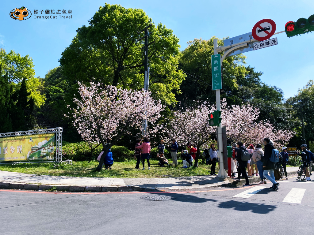
Before driving up Yangming Mountain, I passed the vicinity of Zhongshan Tower, and I just encountered the cherry blossom viewing and the beautiful cherry blossoms. If you drive or chartered up the mountain early, you can get off the car and enjoy the flowers, because the ridge of Xiaoguanyin Mountain is affected by the northeast monsoon. The main vegetation is Miscanthus and Fargesia, and it is also a green matcha grassland during the flowering season.
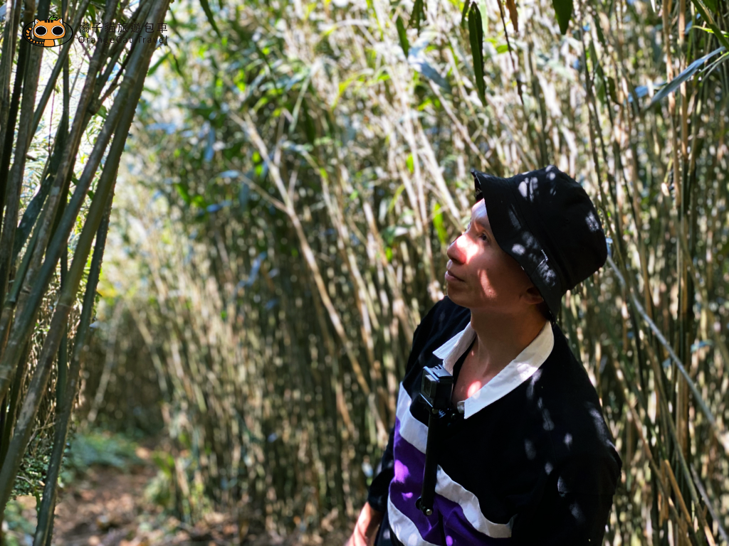
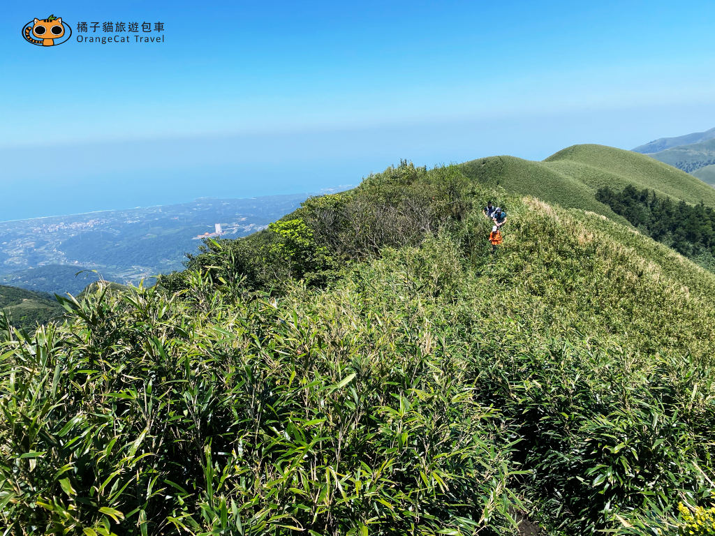
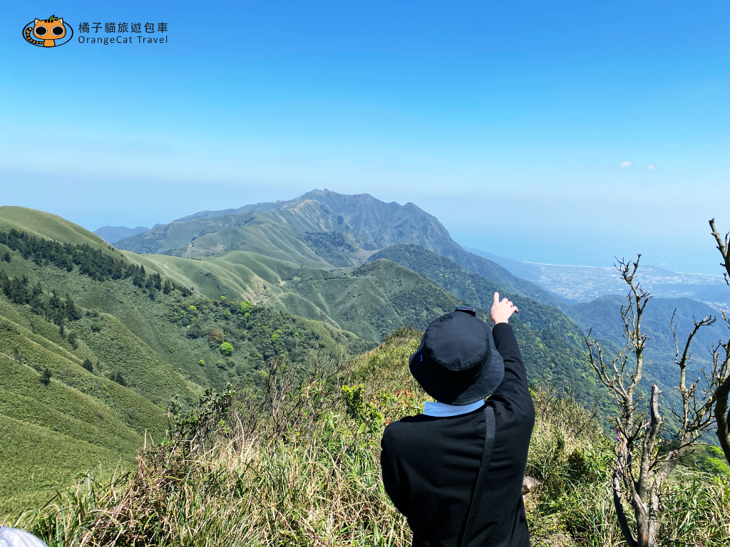
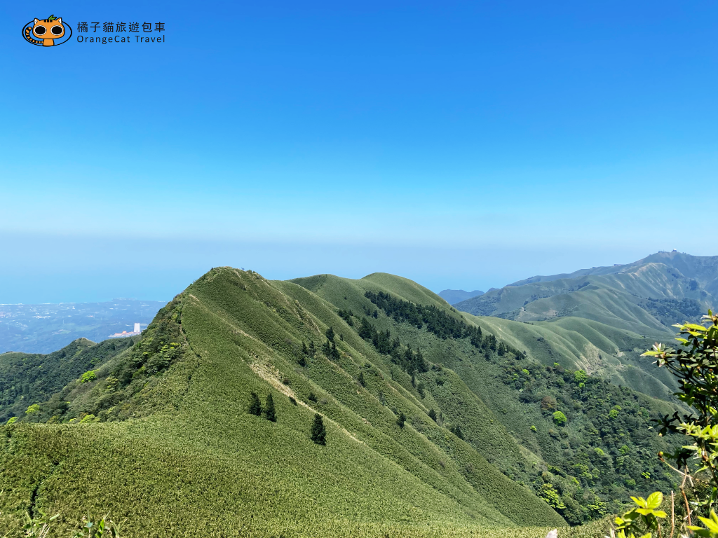
It is not so easy to overlook the Taipei Basin and the green matcha mountains. Before that, you must cross the woods and the more difficult arrow bamboo forest. Therefore, it is recommended that novice mountain climbers do not go up the mountain alone, especially when the weather is bad, it is easy to fog and let The difficulty of walking and recognizing the route is greatly increased.
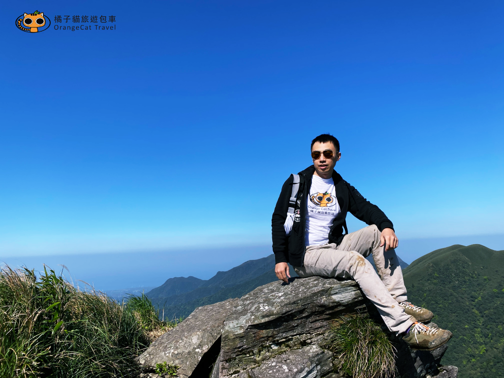
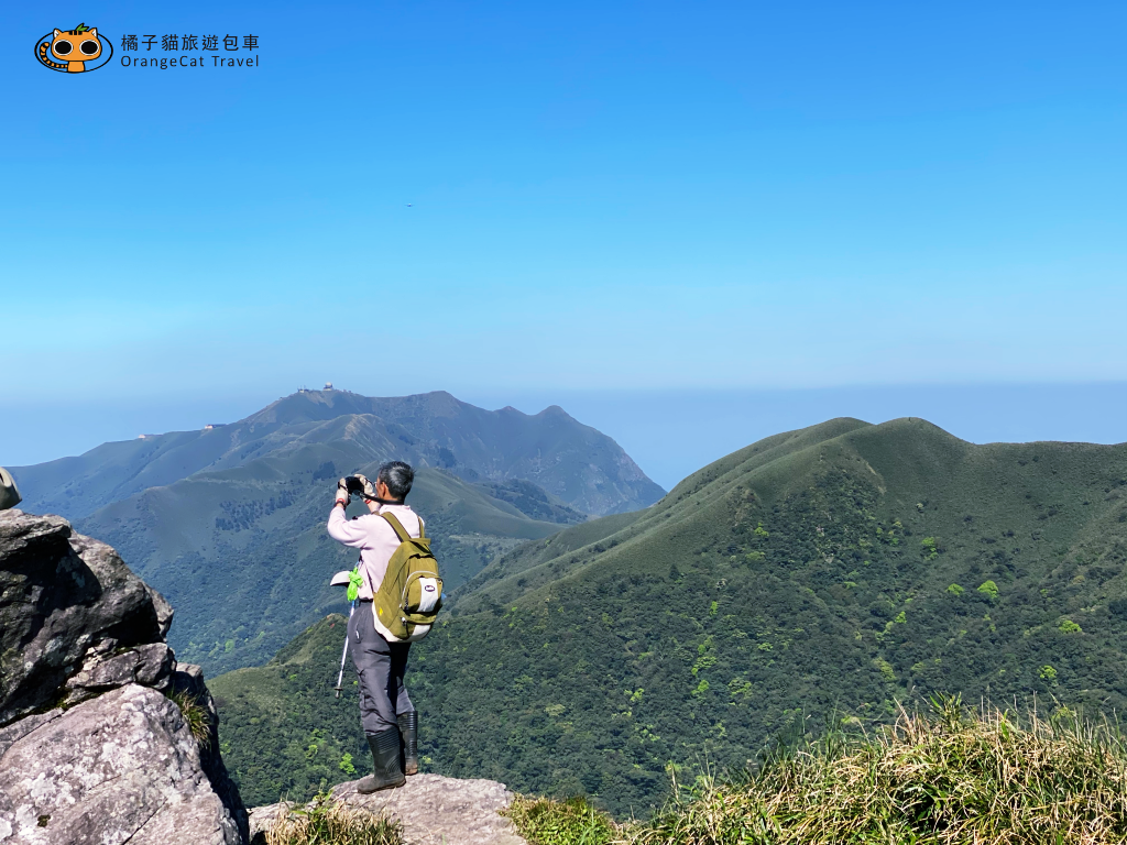
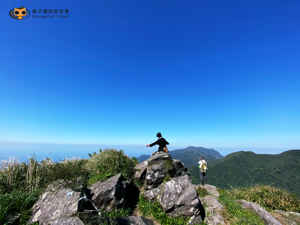
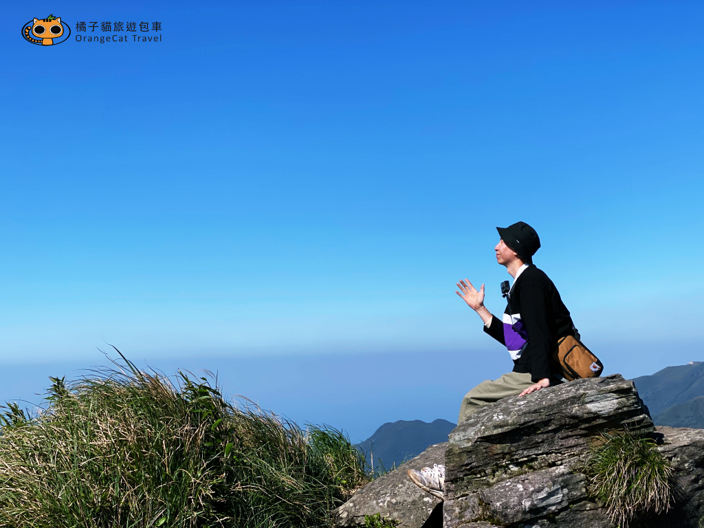
After a lot of trials on the breakthrough route, standing on the ridgeline of Xiaoguanyin Mountain, the picture appearing in front of you will make people feel that the whole journey is very worthwhile. A whole piece of healed grassland, the Taipei Basin in front of you, and layers The mountain line, if the weather is good and the visibility is high, you can also see Bali in the distance, Taipei Port, and even the Luzhu area of Taoyuan. It is definitely worth the scenery!
OrangeCatTravel's experience
The difficulty of Xiaoguanyin Mountain is intermediate, which is more suitable for travelers with mountain climbing experience and ordinary sports habits. If you are a novice climber and want to go, it is recommended to report to a mountaineering group or go with a mountain friend who is familiar with the forest!

